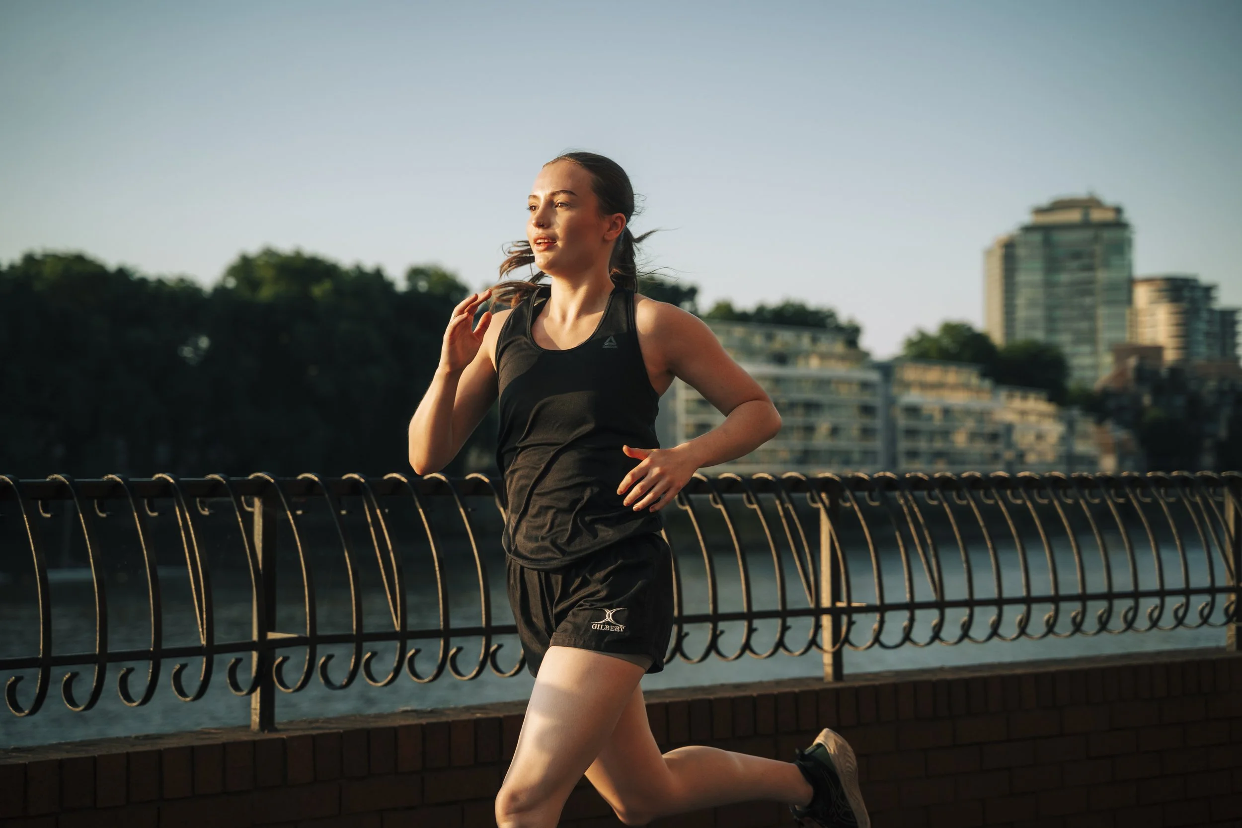
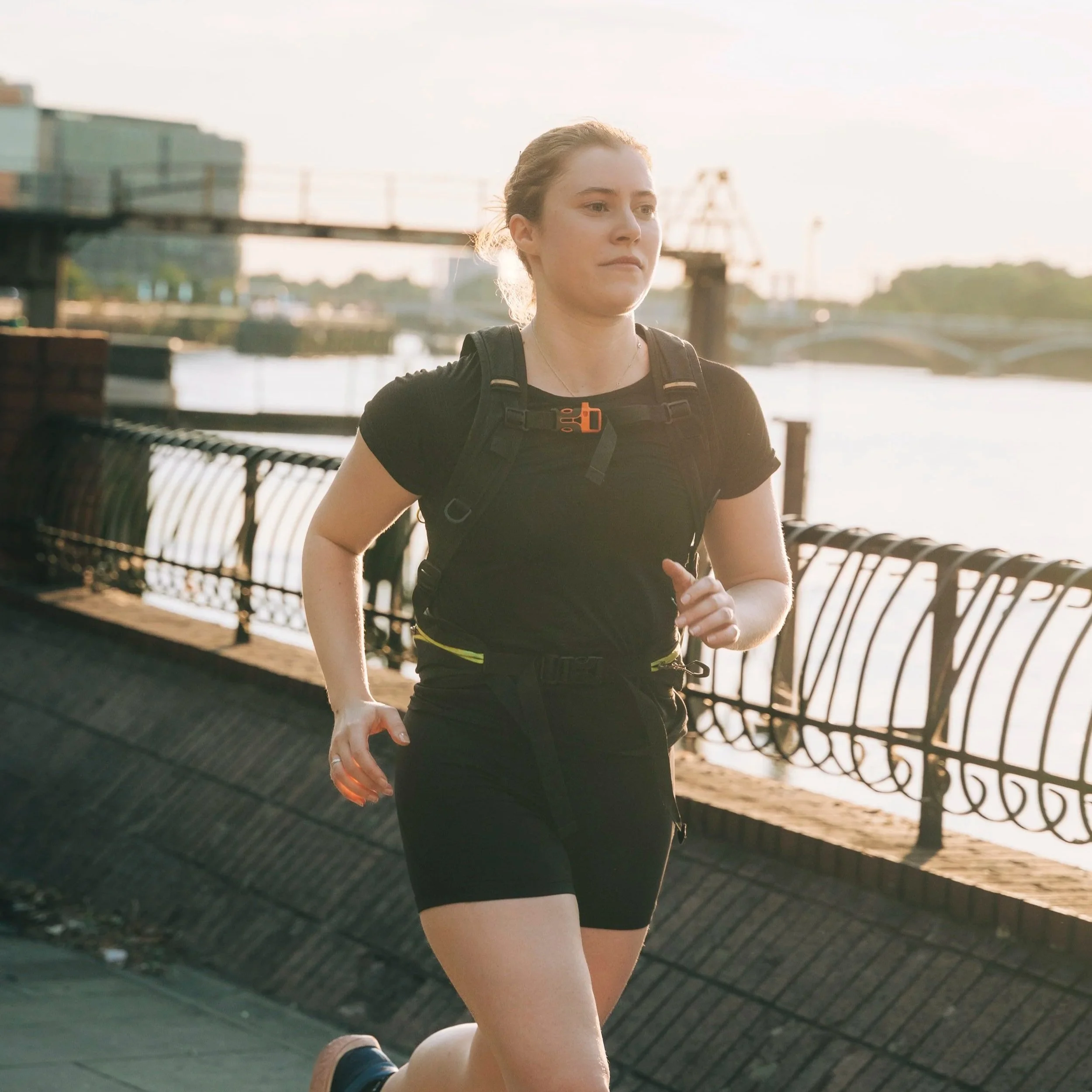
Joyna’s unique set of features helps you run safely
Routes are generated from scratch and optimised using external datasets.
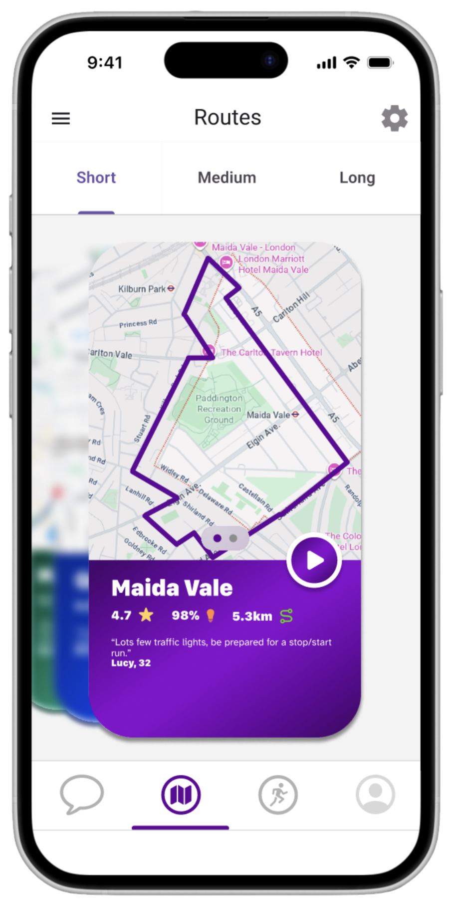
Well-lit, Low-crime Routes
Easy Location Sharing
So that your loved ones can see how your run is progressing.
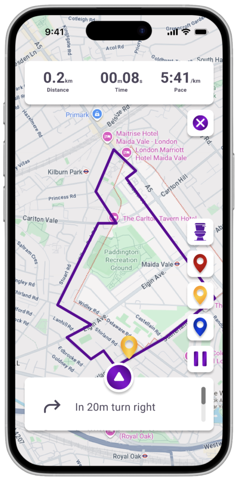
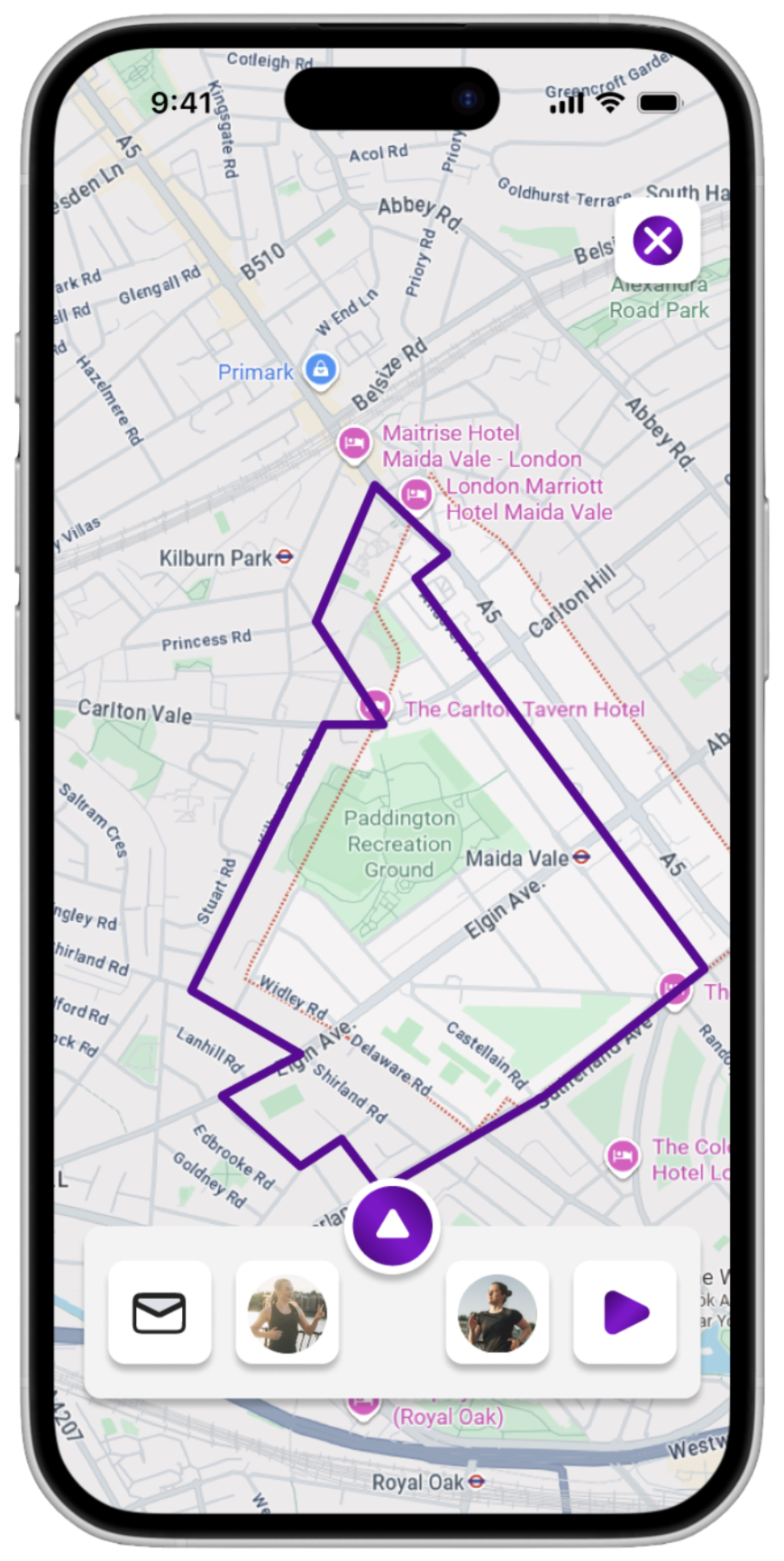
Safety Pins and On-run Navigation
Share with other users the areas in which you’ve received unwanted attention.
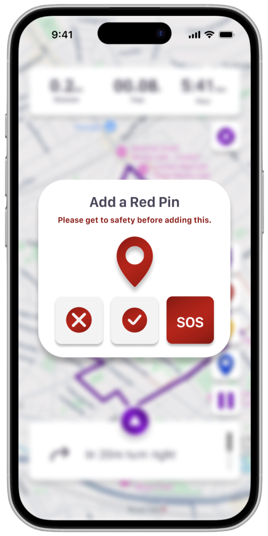
SOS Alerts
So you can signal to those around you if ever help is needed.

Using a bespoke algorithm
What you see in the app is only part of the story, each route is informed by a large, multi-source data exercise.
316
Data Requests
110+
Spreadsheets
1
Consolidated GIS Map
5m+
Data Points
Providing the routes for every occasion
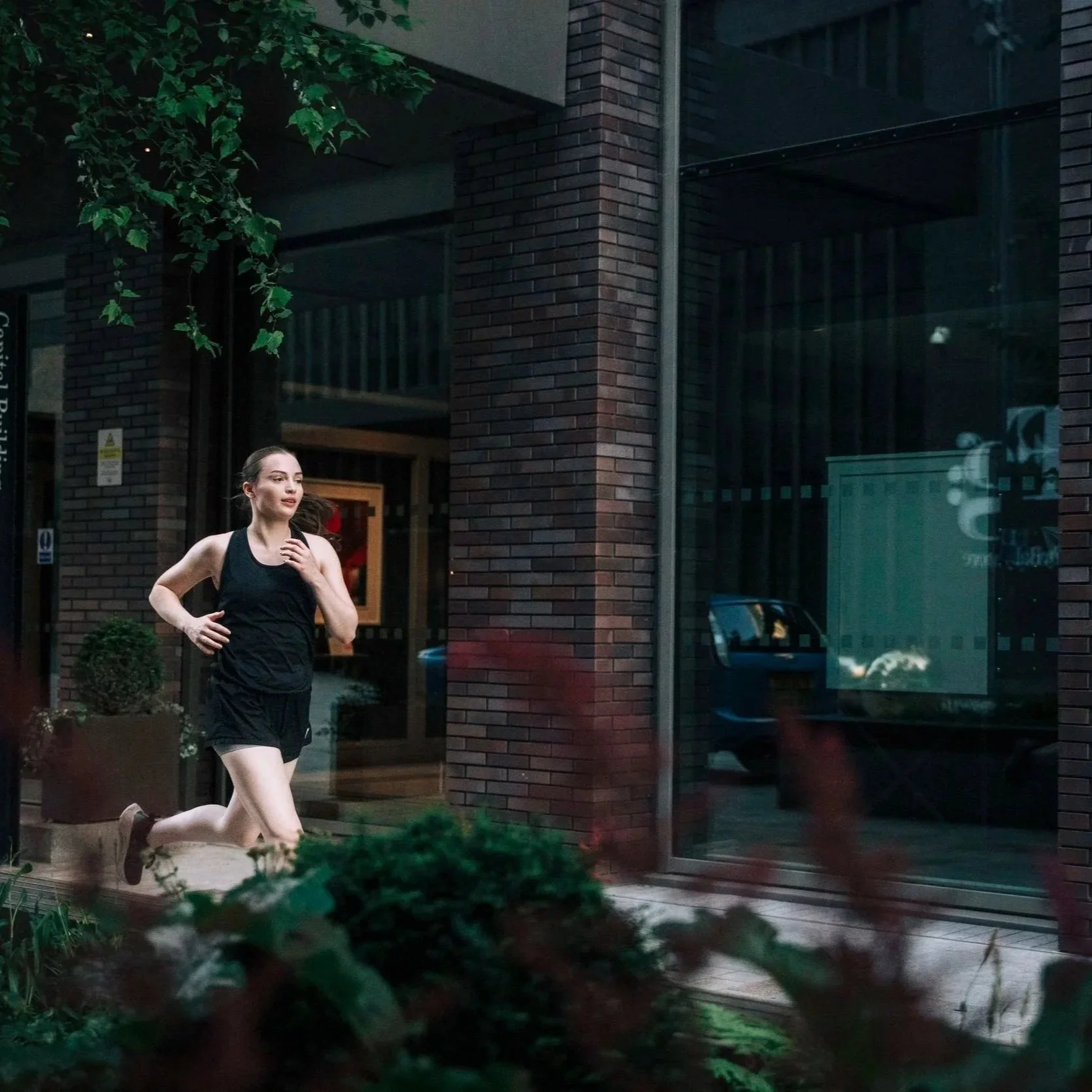
Mornings and Evenings
In the winter days are short, it’s dark before and after work. We provided the brightest possible path so you can continue to exercise outside.
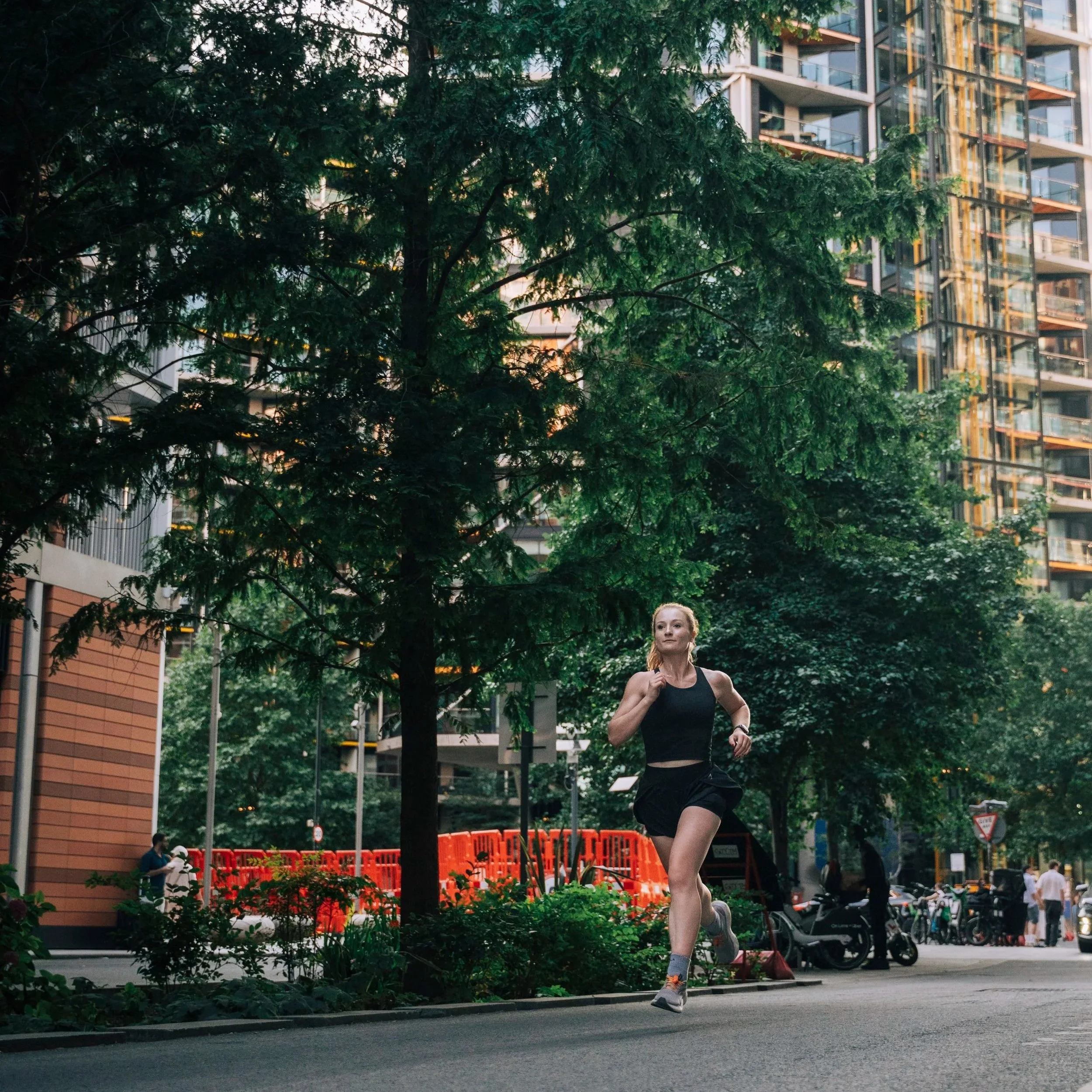
New Areas
Running in a new area can make route planning less predictable, particularly when lighting, road layout, and connectivity are unfamiliar.
New Distances
When a training plan introduces longer or unfamiliar distances, route planning can become more complex.